
Last updated
On this page
How the halfway point is found#
The finder turns each place into a latitude and longitude, then treats Earth as a sphere with a mean radius of 6,371 km (NASA). It adds the two positions as arrows from the center of Earth and extends the sum out to the surface. That point lies on the great circle through both places, the same distance from each.
Averaging the two latitudes and the two longitudes gives the wrong answer over long distances, and fails badly across the 180th meridian. Earth is also slightly flattened, by about 0.34% (NASA), so distances on a sphere can differ from the true distance by a fraction of a percent. That is too small to matter when you are picking a place to meet.
Straight line or driving#
This tool measures the straight line over the surface, the way a plane would go. The middle of a road trip can be well away from it, because highways bend around mountains, lakes and borders, and one half of the route can be faster than the other.
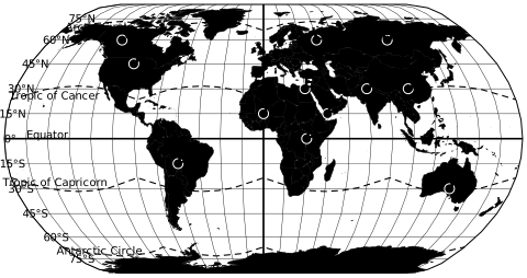
For meeting up, use the point as a starting place: look at the nearest town, open restaurants nearby and check the drive from each side. To print a map or read coordinates by hand, see the latitude and longitude map. The political world map shows which countries a long route crosses.
Halfway points between US cities#
Select a pair to load it into the finder. The state column shows where the midpoint falls.
| Cities | Distance | Midpoint | State |
|---|---|---|---|
| <a href="#a=New+York%2C+NY&b=Chicago%2C+IL">New York to Chicago</a> | 711 mi (1,144 km) | 41.50° N, 80.76° W | Ohio |
| <a href="#a=Denver%2C+CO&b=Seattle%2C+WA">Denver to Seattle</a> | 1,020 mi (1,641 km) | 44.00° N, 113.09° W | Idaho |
| <a href="#a=Boston%2C+MA&b=Washington%2C+DC">Boston to Washington</a> | 394 mi (634 km) | 40.67° N, 74.13° W | New Jersey |
| <a href="#a=Dallas%2C+TX&b=Atlanta%2C+GA">Dallas to Atlanta</a> | 720 mi (1,158 km) | 33.42° N, 90.63° W | Mississippi |
| <a href="#a=Salt+Lake+City%2C+UT&b=Albuquerque%2C+NM">Salt Lake City to Albuquerque</a> | 485 mi (780 km) | 37.95° N, 109.17° W | Utah |
 Political world map
 Latitude and longitude map
 US snowfall map